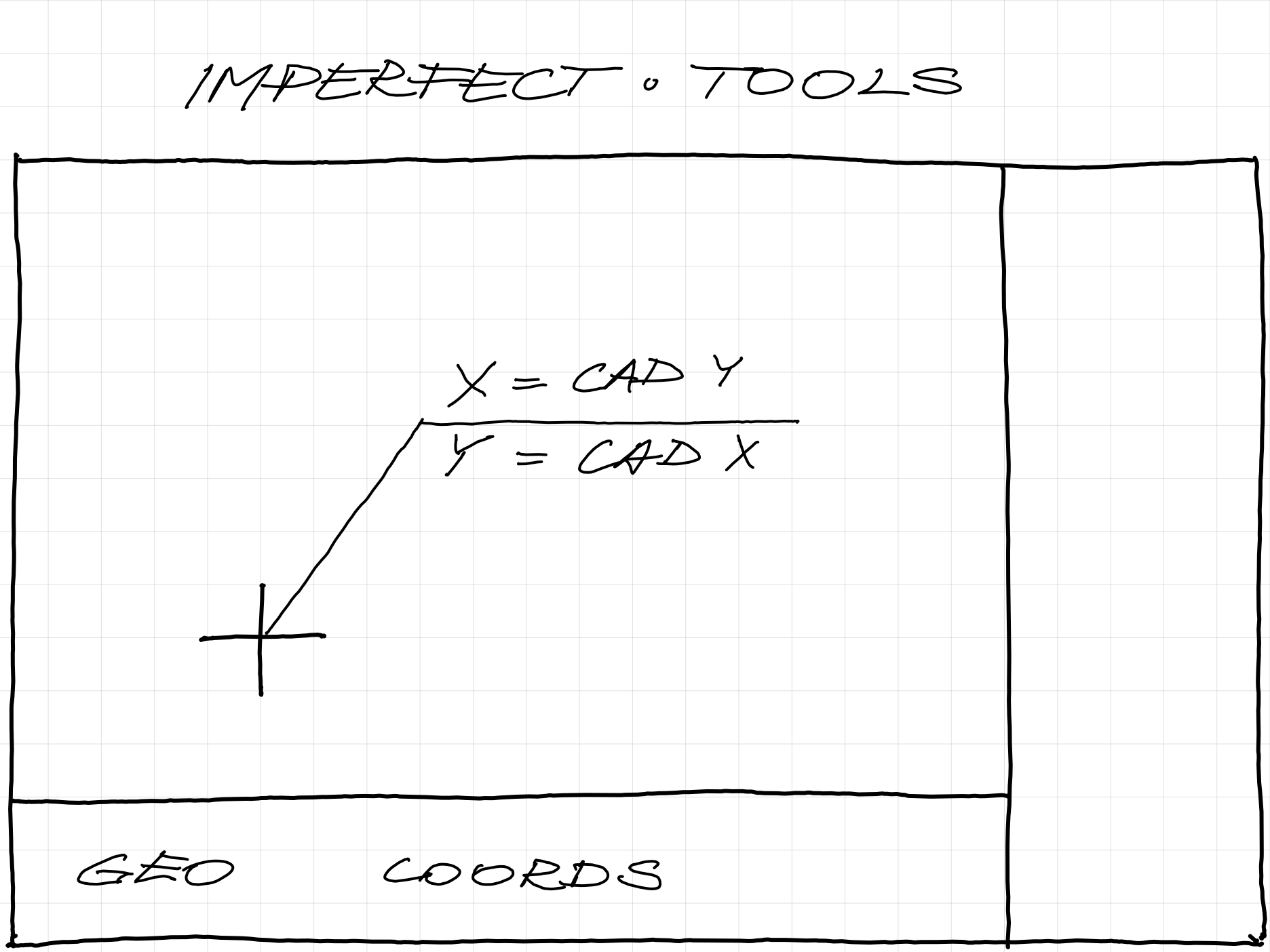
the coordinate system is just a convention.
there is no single general system.
there is a cad system.
and there is a geo system.
surveyors use swapped cad coordinates.
## readme
unpack, open and use.
stretch point and arrowhead.
learn about pdmode and pdsize.
regen to refresh.